There are two kinds of transit information. The sign at the bus stop, which is a promise, and the GTFS feed, which is the truth, and the two are not always on speaking terms.
GTFS is just a bundle of plain files: here are the stops, here are the routes, here is when a vehicle is supposed to be somewhere. Cities publish it. Almost nobody outside a transit agency ever opens it. We opened it.
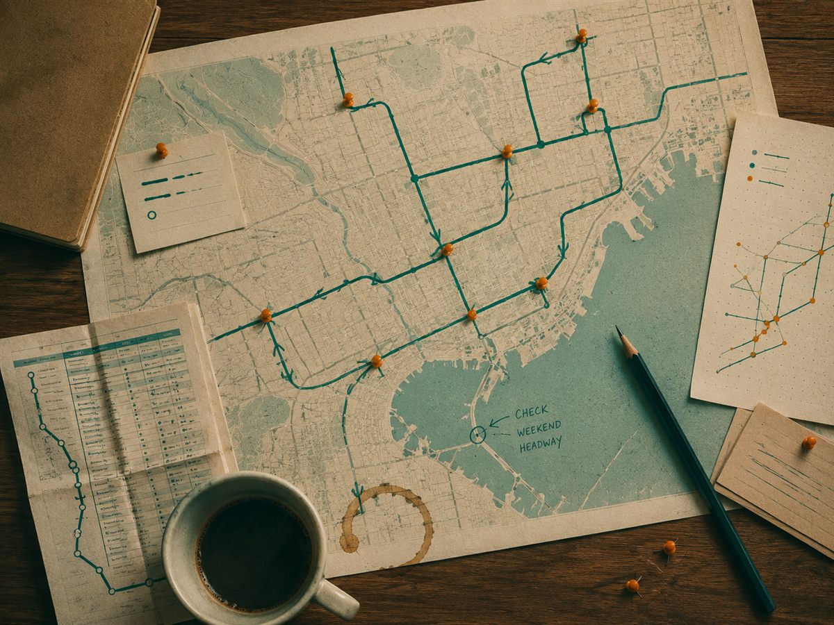
The first thing you learn is that a schedule is not one number, it is a relationship between a stop, a route, a direction, and a time, and if you get any one of them wrong the whole thing lies to you with total confidence. The second thing you learn is that once it clicks, you can answer questions the official trip planner quietly refuses to, like which stops are technically served by a bus that has not been on time since the last ice age.
None of this requires permission. The feed is public. It is just inconvenient, which is a very effective way to keep something public in name only. More soon, including the map we built and the three hours we lost to a single mislabeled timezone.